Tazekka National Park
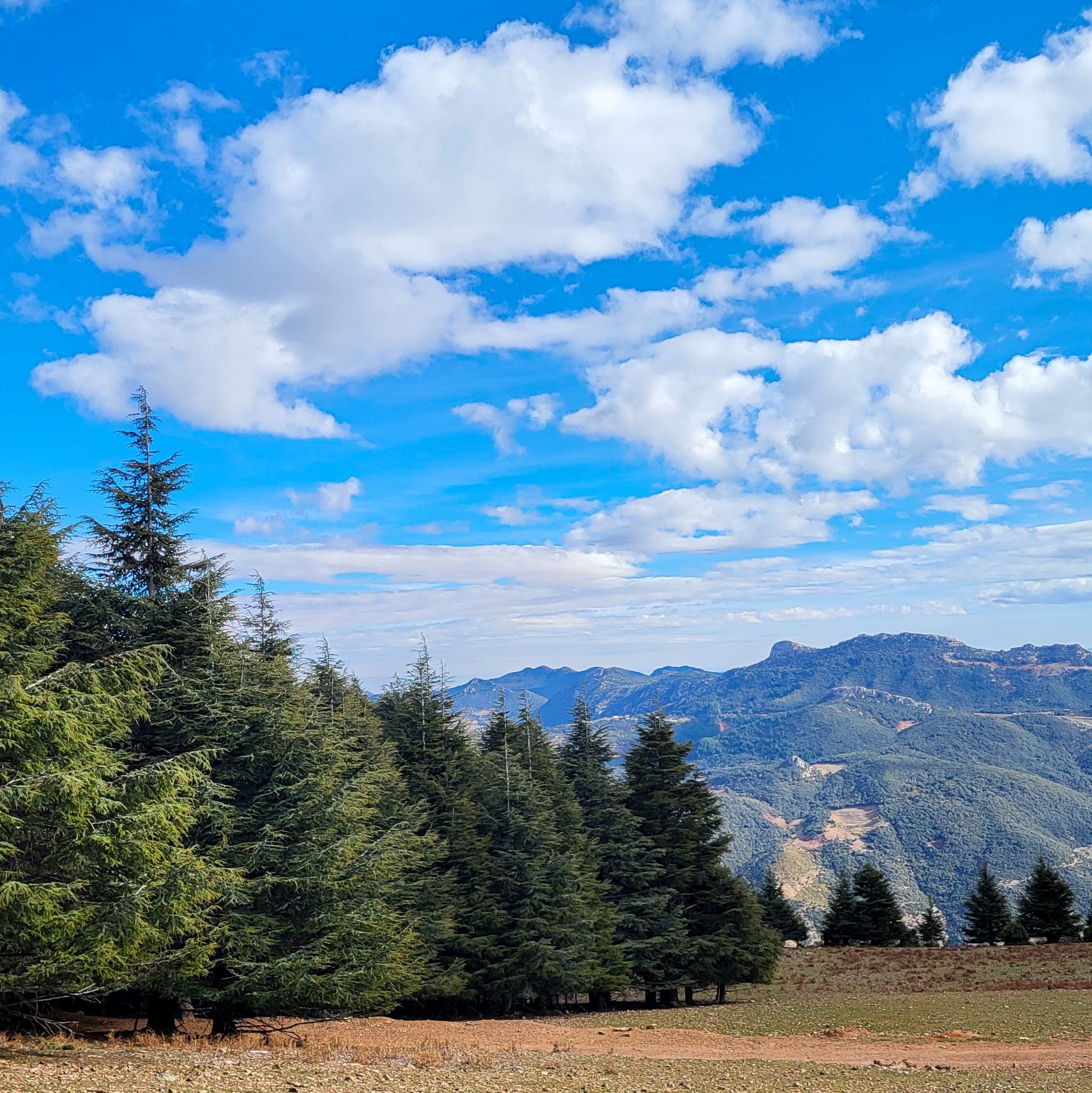
Created in 1950, Tazekka National Park protects about 13,737 ha of mountains above Taza: the Jbel Tazekka cedar forest, dayas, waterfalls and caves, including the Friouato chasm.
Key facts
- Created
- 1950
- Area
- ≈ 13,737 ha
- Highest point
- Jbel Tazekka · 1,980 m
- Loop
- ≈ 76 km from Taza
Stops on the loop
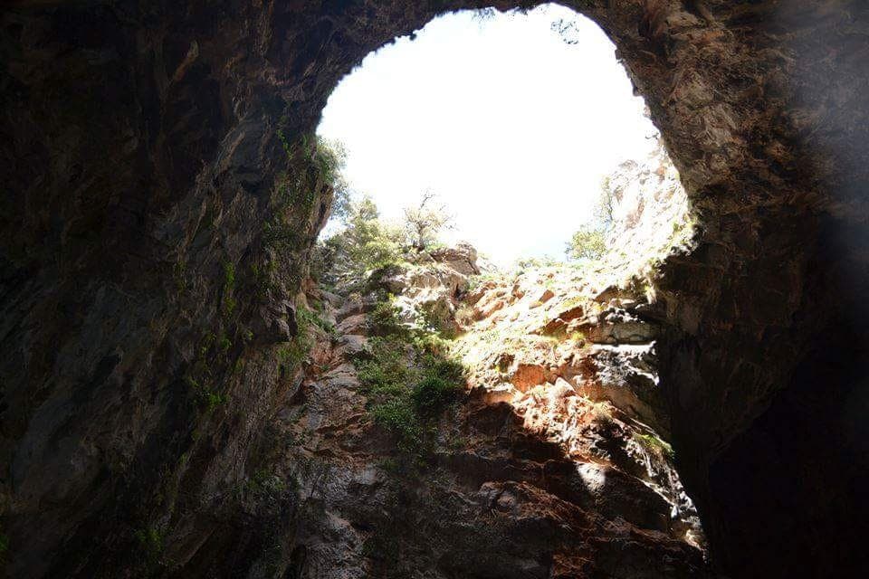
Photo: Zakariamazz · CC BY-SA 4.0 · Wikimedia Commons The Friouato chasm
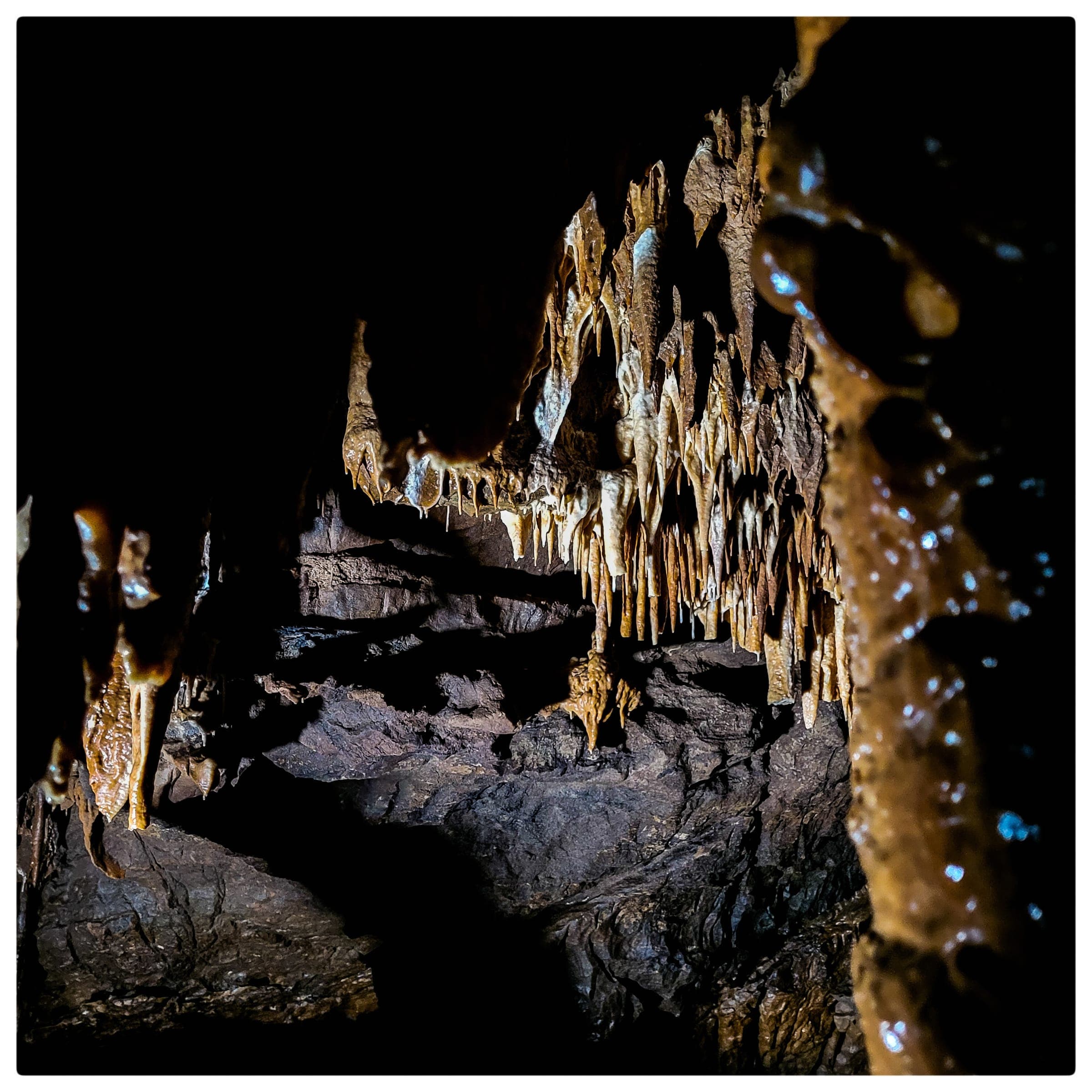
The cave of the wind: a sinkhole about 30 m wide, around 520 steps and decorated chambers. Public access costs 5 DH, paid on site.
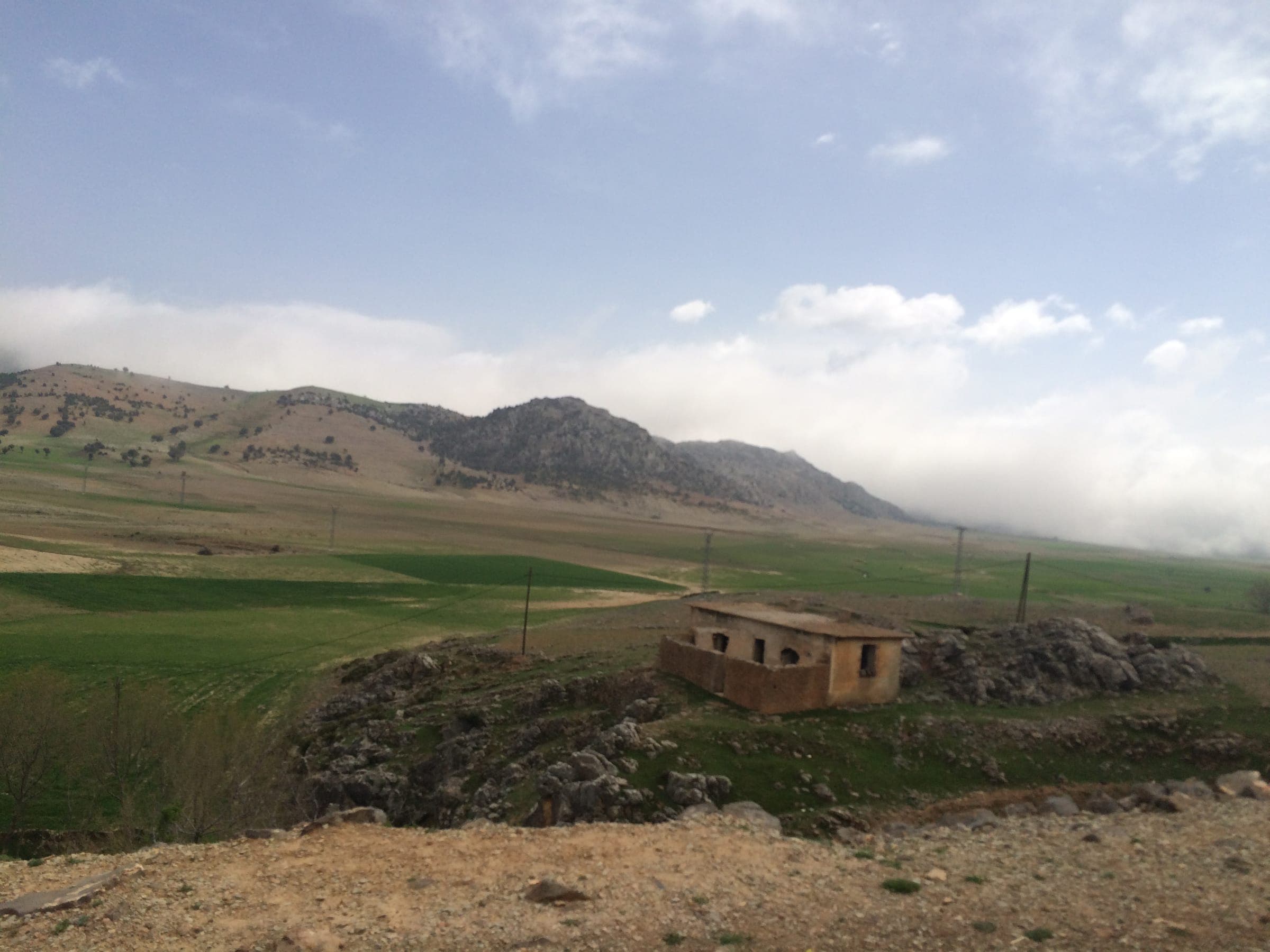
Photo: Wimmiden · CC BY-SA 3.0 · Wikimedia Commons Daya Chiker
A large karst basin next to Friouato. Its water sinks into the massif; it is thought to reach Chiker cave, about 1 km to the north-east.
Ras el Ma waterfalls
A refreshing stop on the loop; the falls are at their best in spring.
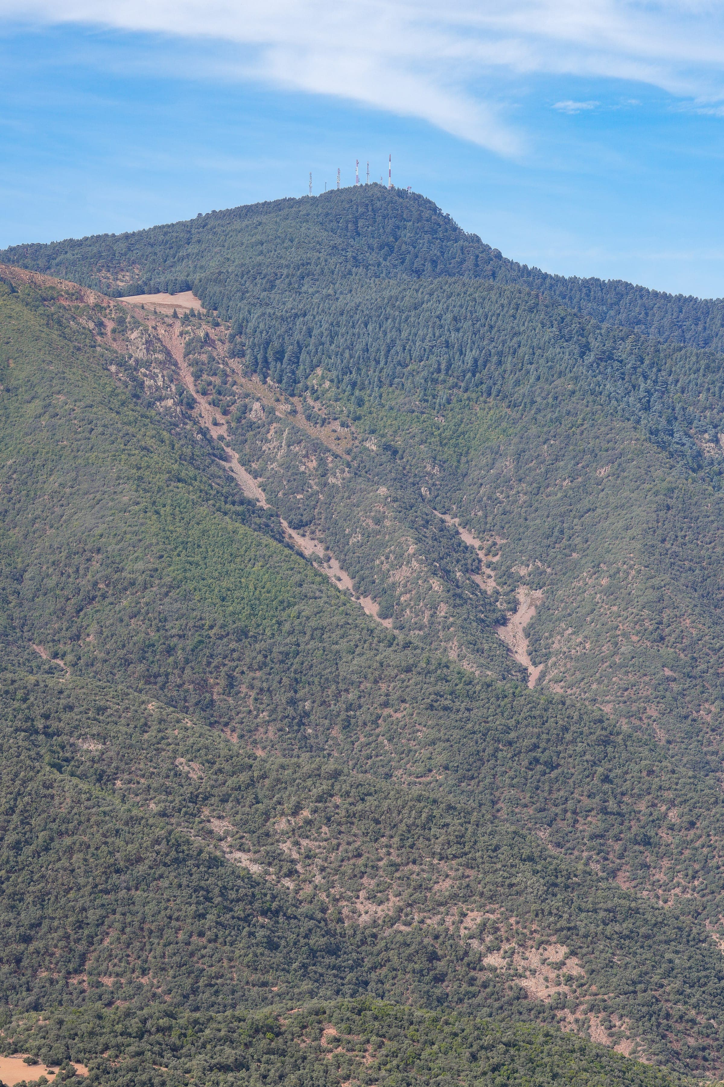
Photo: Timothy A. Gonsalves · CC BY-SA 4.0 · Wikimedia Commons Jbel Tazekka cedar forest
The highest point of the park, at 1,980 m, covered in cedars. The Barbary deer was reintroduced to the park in 1994.
When to go
April to October for the loop, spring for the waterfalls. Underground at Friouato it is 12–14 °C all year.
Tazekka circuit
Friouato, the Daya Chiker, the Ras el Ma waterfalls and the cedar forest of Jbel Tazekka: the loop of about 76 km from Taza.
- Distance
- ≈ 76 km loop
- Duration
- one day
- Season
- April to October; waterfalls best in spring
Other caves in Tazekka
The park has other caves, such as Chaara cave.
Your turn to go down
Plan your visit to the cave of the wind.